Sustainable Farming
Milestones
- Lead and developed core product to paying customers in under a year from concept phase.
- Deployed core machine learning pipeline and storage onto cloud reducing runtimes from hours to minutes (AWS S3, EC2, Cloudwatch, Lambda, ECR).
- Designed and trained modern CNN architectures and optimised performance by transfer learning and Bayesian optimization in tensorflow.
- Deployed semi-automated data labelling pipeline using Amazon Mechanical Turk.
- Optimized product with customer journey map, value proposition canvas, and face-to-face feedback with customers.
- Responsible for technical strategy, tracking and reporting of KPIs, and recruitment.
Technologies
Python, tensorflow, git, AWS (S3, EC2, Cloudwatch, Lambda, ECR, Mechanical Turk), HTML/CSS, Scikit-learn, Google Maps API, Docker.
Summary
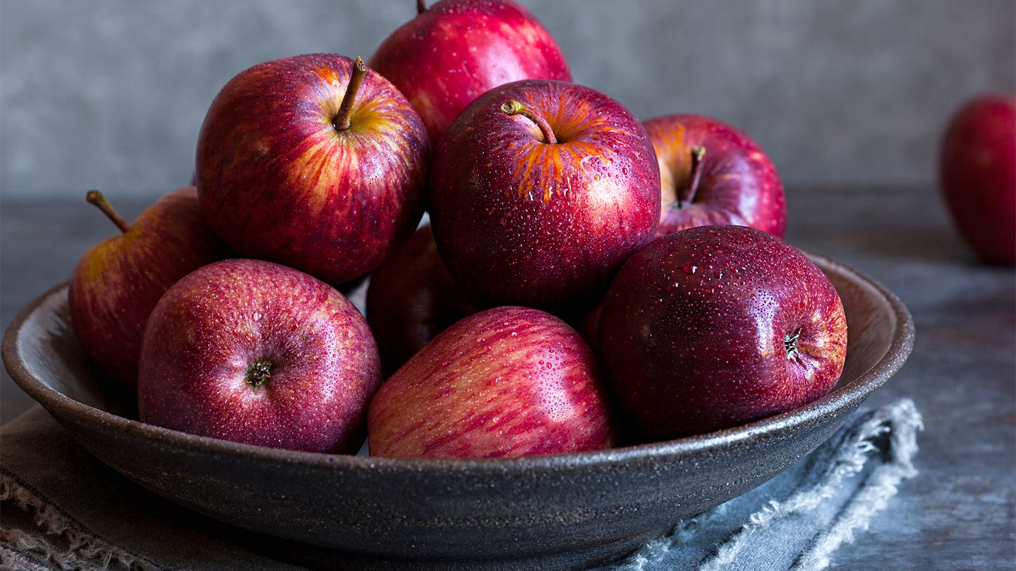
Around 20% of high value fruit crops are wasted each season due to uncertainties in harvesting, scheduling and deploying farm resources, and arranging sales contracts with third parties. During this project inexpensive drone systems were used to quickly survey farms with high resolution images. The images were processed using our internal machine learning pipeline to map fruit density, fruit counts, and yield estimates providing detailed quantitative and visual insights to the farmer.
Project information
- Category: Sustainable Farming
- Location: Cambridge
- Project date: Oct 2019, Nov 2020
- Project URL: Outfield Technologies